Data
Population Health
These sets of indicators are organized based on the Population Health Model. Together, they provide a comprehensive view of the people who live, learn, work and take part in activities and community life in the province.
Primary Health Survey
The Primary Health survey aims to better understand and report on New Brunswickers' self-rated health determinants, their use and their experiences with primary health services in their communities. The survey results are available at the provincial, health zone and NBHC community levels across four survey cycles: 2011, 2014, 2017 and 2020.
Student Wellness and Education Survey
This survey aims to understand and report on several aspects of students’ wellness and education.
Home Care Survey
This survey evaluates the quality of publicly funded home care in New Brunswick from the perspective of citizens who receive these services.
Publications
-

Population Health Profiles 2022 - Shippagan, Lamèque, Inkerman Area
This overview of the health and well-being of people who live, learn, work and take part in activities in our province is designed to create a shared understanding of our local unique realities.
Overview
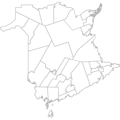
Geography
This community is part of Zone 6 - Bathurst and Acadian Peninsula Area
Municipalities included in this community are:
- Baie de Petit-Pokemouche
- Cap-Bateau
- Chiasson Office
- Coteau Road
- Haut-Lamèque
- Haut-Shippagan
- Inkerman
- Inkerman Ferry
- Lamèque
- Landry Office
- Le Goulet
- Maltempec
- Miscou
- Miscou Provincial Park
- Petit-Shippagan
- Petite-Lamèque
- Petite-Rivière-de-l'Ile
- Pigeon Hill
- Pointe-Alexandre
- Pointe-Brûlée
- Pointe-Canot
- Pointe-Sauvage
- Pokemouche
- Sainte Rose
- Sainte-Cécile
- Sainte-Marie-Saint-Raphaël
- Savoie Landing
- Shippagan
- Six Roads
- Baie de Petit-Pokemouche
- Chiasson Office
- Haut-Lamèque
- Inkerman
- Lamèque
- Cap-Bateau
- Coteau Road
- Haut-Shippagan
- Inkerman Ferry
- Landry Office
- Le Goulet
- Miscou
- Petit-Shippagan
- Petite-Rivière-de-l'Ile
- Pointe-Alexandre
- Pointe-Canot
- Pokemouche
- Sainte-Cécile
- Savoie Landing
- Six Roads
- Maltempec
- Miscou Provincial Park
- Petite-Lamèque
- Pigeon Hill
- Pointe-Brûlée
- Pointe-Sauvage
- Sainte Rose
- Sainte-Marie-Saint-Raphaël
- Shippagan
Note:
The geographic boundaries of this community have been modified since 2018 to reflect the changes to the boundaries as defined in the Municipalities Act (O.C. 2014-85).
Users are advised to exercise caution if comparing data from these geographic areas to previous data cycles. For the affected geographic areas, comparisons between data cycles may not be precise.